
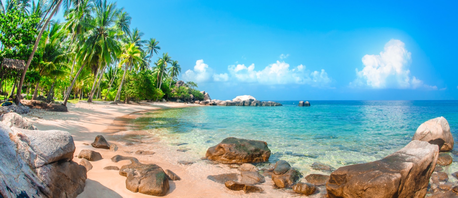
is closer than you think.
The best beaches in Parrish, FL—without the endless search.
Wayfind turns “best beaches in Parrish” into a small, confident shortlist. Ranked by rating weighted by review volume, then proximity — no ads, no paid placement, updated daily.
Free to start. Your taste stays yours and is never sold.
Your Parrish shortlist.
Wayfind weighs rating quality, review depth, proximity, and local context—then tells you why each choice belongs.
Parrish, decoded: NOT a beach town — it's on a river. Gulf sand (Anna Maria Island) is 30–45 minutes west. Here, outdoors means the Manatee River and the preserves.
The one thing to know: A tiny old rail town where you don't watch the trains — you climb aboard.
The ranked list
1
BeachesFort De SotoTop Beaches pickFive islands, three miles of Gulf sand, and a fort you can still walk throughWhy Wayfind picked it
🔥 Popular with locals🏖️ Water: clear — great for swimming
2
🏖️ Water: clear — great for swimming
3
BeachesManatee Public BeachTop Beaches pickThe island's most popular beach, lifeguards on duty 365 days a year, free parkingWhy Wayfind picked it
🏖️ Water: clear — great for swimming
4
BeachesCortez BeachA walk-on Gulf beach with several access points and none of the full-service park setupWhy Wayfind picked it
5
🏖️ Water: clear — great for swimming
6
🏖️ Water: clear — great for swimming
7
8
BeachesBayfront ParkA bayside picnic park where the Sunshine Skyway floats on the horizon and the water barely movesWhy Wayfind picked it
🏖️ Water: clear — great for swimming
9
🏖️ Water: clear — great for swimming
10
BeachesPublic Beach - 100 BroadwayThirty-one spaces and a boardwalk to north Longboat sandWhy Wayfind picked it
🏖️ Water: clear — great for swimming
11
12
BeachesManatee Beach ParkYear-round lifeguards, a pancake café on the sand, and a free trolley every 20 minutesWhy Wayfind picked it
🏖️ Water: clear — great for swimming
13
15
🏖️ Water: clear — great for swimming
Make it a beach day in Parrish
via ViatorBookable on-the-water experiences near these beaches — ranked by the same Wayfind Score.


More in Parrish
Best Things to Do in Parrish · Best Restaurants in Parrish · Best Nightlife in Parrish · What Sarasota is known for
Best Beaches in nearby cities
Ellenton · Palmetto · Bradenton · Sarasota · Lakewood Ranch · Anna Maria Island · Cortez · Longboat Key · Siesta Key · Venice · Tampa · Orlando · Miami · Honolulu · Kailua · Lahaina · Kihei · Kailua-Kona · Hilo · Lihue · Kapaa
More Florida beaches rankings
Best beaches in and near St. Petersburg
Keep exploring near Parrish
Every one of these is a ranked list, not a directory page.